-
Jess Tate
Rob MacLeod
Jess Tate
SCIRun User Mailing List
Text archives Help
- From: Vikas R bhat <vikasraghubhat@gmail.com>
- To: scirun-users@sci.utah.edu
- Subject: [SCIRUN-USERS] Regarding point cloud map
- Date: Thu, 25 Oct 2018 12:18:03 +0530
Respected sir,
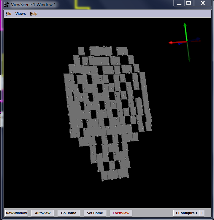
I am trying to create a boundary pad for 151 points (fetal MCG detector coordinates). Have assigned the coordinates data to value 10 and the LatVol to 0, mapped the data from point to LatVol data and clipped the field by function with DATA>1 (element centered). But some of the points are not mapped to LatVol. I dont know where I am doing mistakes. Please help me out. Is there any other method to create image from the point cloud data.
In the Map field from source to destination, "Each source projects to one destination" is selected.
--
Thanks,
Vikas.R.Bhat
Vikas.R.Bhat
Contact: +91 9481263176
- [SCIRUN-USERS] Regarding point cloud map, Vikas R bhat, 10/25/2018
- Re: [SCIRUN-USERS] Regarding point cloud map, Jess, 10/25/2018
Archive powered by MHonArc 2.6.18.